Interactive Map
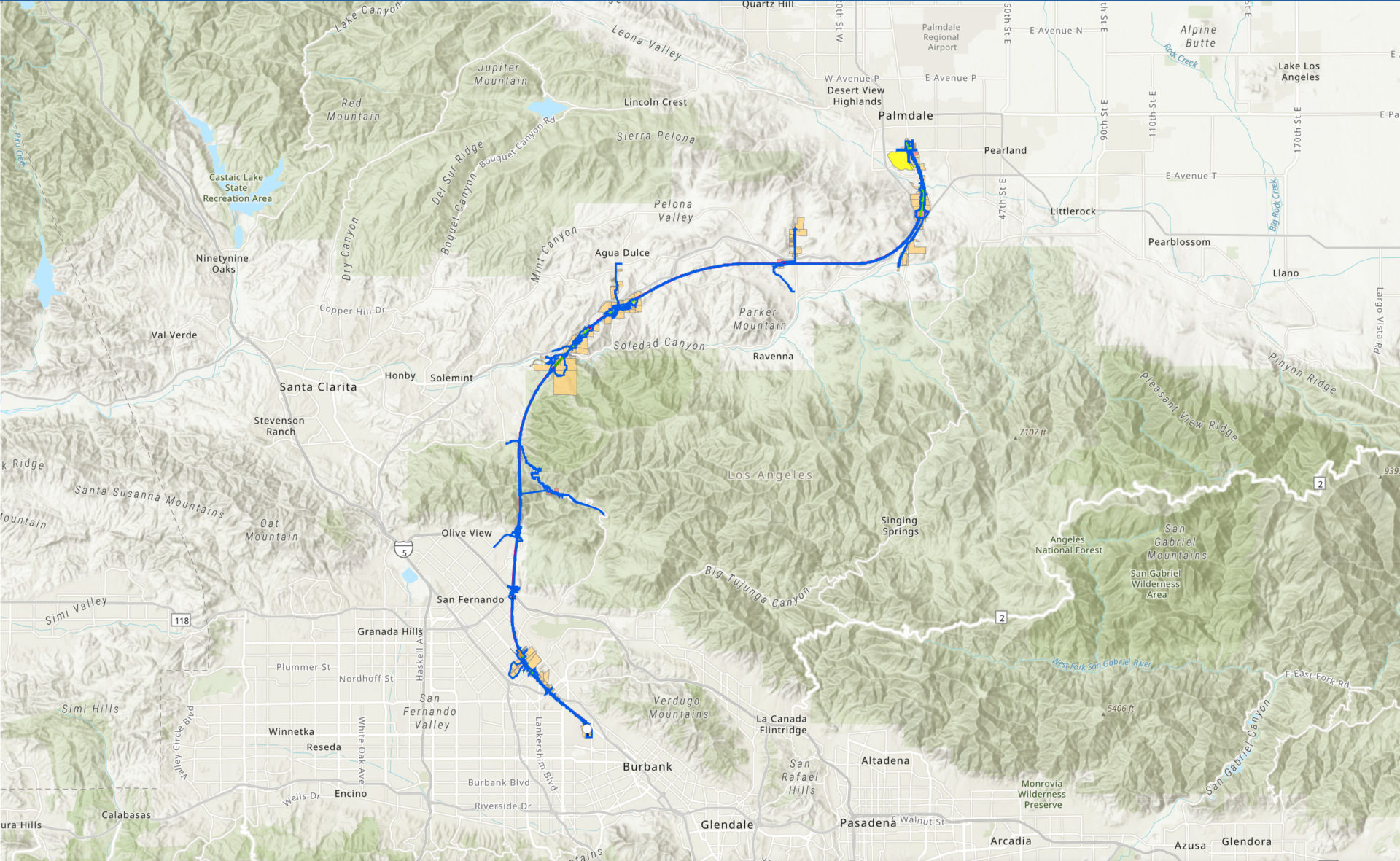
This map depicts the environmental footprint, which represents the maximum area that the project will be impacting, as defined in the environmental document.
Click on the map or click here to find your property in relation to the preliminary footprint for the Build Alternative.
If you identify that your property is listed as being potentially impacted, it is important to note that the property acquisition process begins after the Authority’s Board of Directors decides whether to certify the Final EIR/EIS, whether to approve the project, and whether to direct the CEO to issue a Record of Decision. These approvals are currently anticipated for the Authority’s June 26 and June 27, 2024 Board meeting. Comments received on the Draft EIR/EIS have been responded to and included in the Final EIR/EIS.
You can learn more about the Authority’s right-of-way process and relocation assistance program by reviewing the fact sheets.
If you have questions about the Authority’s right-of-way process or the relocation assistance program, please call (916) 324-1541 or email info@hsr.ca.gov.